50 kmph: the strongest wind gusts forecast for Delhi and Himachal Pradesh.
36 degrees: Delhi’s forecast daytime high on October 5.
115.5 mm: the upper end of the rainfall forecast in the south.
3 days: how soon Delhi’s air quality could turn poor.
Mid-October: when a mild cold wave is expected in the plains.
Delhi’s air quality could deteriorate to the poor category within three days, which could trigger the first stage of the Graded Response Action Plan, or GRAP.
Heavy rain is forecast on October 6 in parts of Kerala and Mahe, South Interior Karnataka, Tamil Nadu, Puducherry and Karaikal, with a yellow alert.
Rainfall in those areas is forecast in the 64.5 mm to 115.5 mm range at some places, according to India.com.
Thunderstorms with lightning and gusty winds of 30 to 40 kmph, gusting to 50 kmph, are likely in Himachal Pradesh on October 6 and 7.
Fairly widespread to widespread rain is forecast over Jammu and Kashmir and Ladakh on October 6.
Rain is expected in Bihar from October 6 to 9 and in Odisha from October 6 to 11.
Haryana, Chandigarh and Delhi can expect thunderstorms, light to moderate rain and strong winds.
Eastern and western Uttar Pradesh may see moderate to heavy rain, with highs of 32 to 33 degrees and lows of 23 to 24 degrees, according to The Week.
Hilly states face landslide risks, and a mild cold wave is expected in the plains by mid-October, according to The Week.
The IMD uses yellow, orange and red alerts, and a yellow alert means that people should be aware of the weather and stay updated.
The GRAP is a set of anti-pollution measures that Delhi-NCR brings in as air quality worsens, with the first stage covering the poor category.
Weather forecasts can change quickly, and the IMD updates its bulletins through the day.
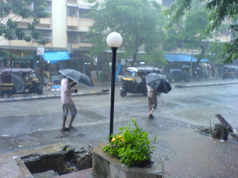
Monsoon clouds over a city (representative image), Wikimedia Commons, CC BY-SA 4.0
Share this story on Instagram
Get a ready-made Bollywood Insider post card for this article, as a square post (1:1) or story (9:16).

Our newsroom covers Bollywood, box office, OTT and celebrity news — your daily dose of Bollywood.